The home of Shooting Times and Sporting Gun


A view to a cull

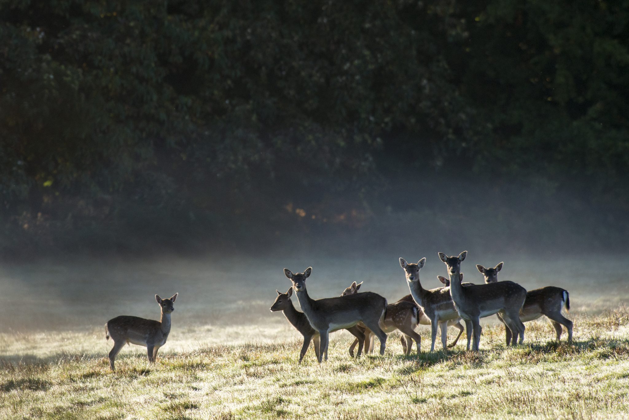
As deer management in Scotland causes ever more controversy, head counts are vital to get an accurate picture of the problem.

Since October 2023 there have no longer been close seasons for any male deer in Scotland. New government legislation proposals for deer management nature restoration orders (DMNROs) could amount to state-mandated culls on private land, if appropriate density targets are perceived not to have been met (News, 5 June). A proposed extension to the hind culling season continues to divide opinion and has ensured these issues are never far from the headlines. 

Although the deer management and wildlife sector hosts a broad church of opinions on what the best strategy is for managing deer impact, few disagree that attempting to quantify deer population and distribution in Scotland is essential. Without a detailed picture of deer numbers and their effects on nature conservation, future management risks being ineffective or overzealous. 

With this in mind, a superb team at NatureScot work with the 47 deer management groups that lie to the north of the Highland Boundary Fault Line to provide the numerical resolution necessary for informed policymaking. NatureScot conducts its deer counts in a number of ways — but one of the most effective is by helicopter. I made a request to NatureScot to tag along on one of these counts to see for myself how they were performed. 

It responded immediately and generously invited me along to help record on a count of the East Loch Ericht Deer Management Group (ELEDMG), which covers a triangular 35,800 hectares bounded by the A9 to the east, Loch Rannoch to the south and Loch Ericht to the north-west. 

NatureScot wildlife management officer Jimmy was heading up this count. He told me to meet him and the rest of the team at PDG Aviation Services near Inverness airport early on a late April morning. I arrived a little ahead of time and gave Jimmy a call to check I was in the right place. He confirmed that I was and asked me if I had my passport. My heart sank; I had forgotten this key document. 

This was galling because I had driven more than 600 miles to make this count and, like a total lemon, I had forgotten the only thing that I absolutely needed. Jimmy let me stew for 10 seconds, then started chuckling. Phew, we were still on. 

Shortly after this reprieve I met the rest of the team for the day, a selection of stalkers and wildlife officers. Next, I was given a summary of how the day would run. Rather than being a dead weight on the outing, I was to be helping record the groups of deer. During a count, the flight track is plotted digitally, allowing the survey area to be logged. This reduces the risk of any double counting. 

When a group of deer is spotted, it is given a unique GPS point on the map, which correlates to a group and image number. My responsibility was to note this down. The camera operator sits by an open window of the helicopter, photographing the deer to be precisely counted later. A stalker from the estate is picked up on-site to assist as a spotter and help confirm estate boundaries. 

Feeling a bit like an astronaut — or at the very least an extra on Top Gun — I followed the others out across the helipad. Lucy, our pilot, gave me a safety briefing and Jimmy handed me a headset. Today, we were using two helicopters to complete the count and we took off one after the other, heading south and flying at an altitude of little over 500ft. We crossed the river Findhorn and gained height to give a windfarm a high berth. This was beyond thrilling. I stared back at the Moray Firth, trying to spot the battlefield of Culloden and watching the sluggish passage of traffic along the tarmac ribbon of the A9. 

Decades of muirburn 

Twenty minutes later we passed over Dalwhinnie and put down at the eastern end of Loch Garry at Dalnaspidal. Here, we had a quick briefing on the areas we were going to fly over, and each helicopter picked up a stalker from ELEDMG. The sun was shining and a pair of oystercatchers scuttled around the field we’d landed in. Sporadic calls of “go-back go-back go-back” echoed from the patchwork heather hills that bore the marks of decades of muirburn. Up we went again and the best was yet to come. 

Chris, our photographer, had the end of his long lens poking out of the window into the crisp mountain air, while Jimmy directed Lucy which tree lines to follow and which corries to explore. Nick, a giant, bearded archetype of a Highland keeper who’d joined us, motioned to where the deer were usually to be found. I had paper and pen in hand to record the image and group numbers that were shouted out to me. 

As I dealt with some strange internal sensations brought on by Lucy’s vigorous but precise flying, I slowly got the hang of the notation. The others were a well-oiled unit and we quickly got into a rhythm. 

The process was extraordinary. All five of us would be scanning the mountains and moorland for movement. When someone called out that they’d identified a group, Lucy would spin on the spot and drift round to line up the left-hand side of the helicopter, out of which the long lens of the camera was wielded. 

If the group of deer in our sights was too disparate, like an airborne collie we would circle round to gather them into a tighter herd to photograph them as one and reduce the chance of an inaccurate count. 

Staggering vistas 

Methodically, Jimmy directed us over our allotted area, sweeping up herd after herd. Despite the time of year there was still snow on the high tops and icy tendrils fringing the mountain tarns. After three hours of stomach-churning wonder, tightly banked turns and staggering vistas, we returned to Dalnaspidal for a quick sandwich, a refuel and a change of stalker. 

Once again airborne, we set off across the glorious scenery. We swept down the precipitous southern shores of Loch Ericht, passing over the stunning Ben Alder Lodge, which clings to the loch’s northern coast. The lodge’s private helipad, complete with subterranean hanger, reminded me of Tracy Island from Thunderbirds. Ruairidh, the new stalker we had brought onboard, pointed out a disused eyrie high on a cliff next to a tumbling cascade of water whose spray was caught by the wind. 

Shortly after, we diverted to avoid disturbing a circling white-tailed eagle; soon after that, we saw a golden eagle from distance. 

Despite the onset of spring we were ambushed by a snowstorm. At one point Lucy turned perpendicular to the wind and the cockpit was filled with a maelstrom of snowflakes blowing in through the open window. The snow dramatically reduced the visibility, meaning the camera was unable to pick out individual deer clearly, so we decided to put down and let the weather pass. 

We landed at a desolate spot on the shore by Corrievarkie Lodge, which must be one of the loneliest habitations in the British Isles — over an hour to the nearest post office and more than an hour and a half by car to the closest supermarket. 

Purpose 

Eventually, the cloud lifted and we got on with the rest of the count. During our final passes we disturbed a mountain hare, still brilliantly white despite the season. We investigated a few final valleys, including the wonderfully named Corriesporran, then headed back to drop off Ruairidh. The day had been fascinating but I tried not to be entirely swept up in the magic of the experience and lose sight of the purpose of these counts. 

In 2020 the Deer Working Group recommended that NatureScot adopt 10 red deer per square kilometre as an upper benchmark for acceptable densities over large areas of the Highlands. While a limit for red deer in the Highlands may be beneficial as a measure of progress, adopting a blanket density limit across Scotland could be seen as reductive and unnuanced, as the impacts from deer occur at different densities throughout the country depending on habitat, location and time of year. 

Despite the limitations of counting methods like this — and their focus primarily on red deer in upland environments — the counts provide important data to try to gauge the scale of local populations. This in turn allows managers to compare densities and the impact on biodiversity of different red deer numbers across a variety of habitats. 

Deer counting is a complex business and methods for quantifying populations of other species of deer in lowland and forest environments still leave much room for inaccuracy. Although NatureScot’s helicopter counts should not define deer management policy alone, it is a fantastic data source that should continue to be fed into landscape-scale nature restoration plans.